69
State parks on Tennessee's list, three of them temporarily closed
Field Guide 04 · Edition 2026
Every park on Tennessee's list, timed from the Public Square. Seven are inside an hour and the farthest, Roan Mountain, is 327 miles out. Here is where to walk, swim, camp and sleep indoors at each, what it costs, and which ones the state's own counts say are crowded.
Tennessee's Find a Park page lists 69 state parks in October 2026, and every one of them is within 330 road miles of the Public Square. Seven are inside an hour: Radnor Lake, the Bicentennial Capitol Mall, Harpeth River, Henry Horton, Long Hunter, Montgomery Bell and Cedars of Lebanon. Another 19 are inside two hours, among them seven of the 12 parks the state lists for waterfalls.
This guide times each drive from the square on OpenStreetMap's roads, with no traffic, and sets beside it what the state lists at the park: its trails and their lengths, whether you can swim, camp, rent a cabin or take a lodge room, and how many visits the park's own plan counted in a year. Each park has a page of its own with its trails, its campgrounds and the parks nearest it.
The counts change the picture. Radnor Lake, the nearest park, is one of the most crowded for its size, with 1.9 million visits counted in fiscal 2022 on 1,380 acres. Long Hunter and Montgomery Bell, each about 20 minutes farther, counted about a seventh as many visits per acre. Section 04 lists the parks with the most room, and two of them are within two hours.
Every park on the state's list, nearest first, in bands of an hour. The chips narrow the table to the parks with a campground, cabins, a lodge, a beach or pool, or waterfalls, or to those within two hours; press more than one to find a park with all of them. Each name opens the park's page.
| From Franklin | Park | Trails listed | Overnight |
|---|---|---|---|
| Within an hour · 7 | |||
| 20 min14 mi | Radnor Lake State ParkDavidson County10 trails, 7.6 mi · Day use | 10 · 7.6 mi | Day use |
| 30 min21 mi | Bicentennial Capitol Mall State ParkDavidson CountyNo trails listed · Day use | — | Day use |
| 40 min30 mi | Harpeth River State ParkCheatham County23 trails, 11.2 mi · Day use | 23 · 11.2 mi | Day use |
| 40 min30 mi | Henry Horton State ParkMarshall County14 trails, 19.3 mi · Camping · Cabins · Lodge | 14 · 19.3 mi | Camping · Cabins · Lodge |
| 40 min26 mi | Long Hunter State ParkDavidson County13 trails, 26.7 mi · Camping | 13 · 26.7 mi | Camping |
| 45 min37 mi | Montgomery Bell State ParkDickson County13 trails, 16.4 mi · Camping · Cabins · Lodge | 13 · 16.4 mi | Camping · Cabins · Lodge |
| 55 min47 mi | Cedars of Lebanon State ParkWilson County8 trails, 11.4 mi · Camping · Cabins | 8 · 11.4 mi | Camping · Cabins |
| One to two hours · 19 | |||
| 1 hr 5 min47 mi | Devil's Backbone State ParkLewis County1 trails, 3.5 mi · Day use | 1 · 3.5 mi | Day use |
| 1 hr 10 min65 mi | Dunbar Cave State ParkMontgomery County5 trails, 3 mi · Day use | 5 · 3 mi | Day use |
| 1 hr 10 min65 mi | Port Royal State ParkMontgomery County2 trails, 0.4 mi · Day use | 2 · 0.4 mi | Day use |
| 1 hr 10 min61 mi | Old Stone Fort State Archaeological ParkCoffee County9 trails, 9.5 mi · Camping | 9 · 9.5 mi | Camping |
| 1 hr 10 min59 mi | Bledsoe Creek State ParkSumner County8 trails, 4.7 mi · Camping | 8 · 4.7 mi | Camping |
| 1 hr 20 min69 mi | David Crockett State ParkLawrence County6 trails, 10.2 mi · Camping · Cabins | 6 · 10.2 mi | Camping · Cabins |
| 1 hr 30 min80 mi | Edgar Evins State ParkDeKalb County7 trails, 11 mi · Camping · Cabins | 7 · 11 mi | Camping · Cabins |
| 1 hr 30 min69 mi | Johnsonville State Historic ParkHumphreys County4 trails, 3.8 mi · Day use | 4 · 3.8 mi | Day use |
| 1 hr 30 min90 mi | Natchez Trace State ParkHenderson County7 trails, 31 mi · Camping · Cabins · Lodge | 7 · 31 mi | Camping · Cabins · Lodge |
| 1 hr 30 min89 mi | Fiery Gizzard State ParkGrundy County12 trails, 23.3 mi · Camping | 12 · 23.3 mi | Camping |
| 1 hr 35 min90 mi | Head of the Crow State ParkFranklin County5 trails, 6.6 mi · Camping, no sites listed | 5 · 6.6 mi | Camping, no sites listed |
| 1 hr 35 min68 mi | Tims Ford State ParkFranklin County13 trails, 25 mi · Camping · Cabins | 13 · 25 mi | Camping · Cabins |
| 1 hr 45 min100 mi | Burgess Falls State ParkPutnam County3 trails, 1.6 mi · Day use | 3 · 1.6 mi | Day use |
| 1 hr 45 min97 mi | Cummins Falls State ParkJackson County11 trails, 5.2 mi · Day use | 11 · 5.2 mi | Day use |
| 1 hr 45 min89 mi | Rock Island State ParkWarren County10 trails, 8.5 mi · Camping · Cabins | 10 · 8.5 mi | Camping · Cabins |
| 1 hr 50 min102 mi | Mousetail Landing State ParkPerry County5 trails, 13.8 mi · Camping | 5 · 13.8 mi | Camping |
| 1 hr 50 min102 mi | Nathan Bedford Forrest State ParkBenton County8 trails, 20 mi · Camping · Cabins | 8 · 20 mi | Camping · Cabins |
| 1 hr 55 min113 mi | Scott's Gulf Wilderness State ParkWhite County19 trails, 40.7 mi · Camping | 19 · 40.7 mi | Camping |
| 2 hr103 mi | Savage Gulf State ParkGrundy County18 trails, 56.2 mi · Camping | 18 · 56.2 mi | Camping |
| Two to three hours · 20 | |||
| 2 hr 10 min127 mi | Standing Stone State ParkOverton County4 trails, 5.4 mi · Camping · Cabins | 4 · 5.4 mi | Camping · Cabins |
| 2 hr 10 min129 mi | Middle Fork Bottoms State ParkMadison County1 trails, 3.9 mi · Day use | 1 · 3.9 mi | Day use |
| 2 hr 10 min99 mi | Paris Landing State ParkHenry County8 trails, 12 mi · Camping · Cabins · Lodge | 8 · 12 mi | Camping · Cabins · Lodge |
| 2 hr 15 min135 mi | Cumberland Mountain State ParkCumberland County6 trails, 13.7 mi · Camping · Cabins | 6 · 13.7 mi | Camping · Cabins |
| 2 hr 15 min110 mi | Fall Creek Falls State ParkVan Buren County18 trails, 59.4 mi · Camping · Cabins · Lodge | 18 · 59.4 mi | Camping · Cabins · Lodge |
| 2 hr 20 min135 mi | Cordell Hull Birthplace State ParkPickett County4 trails, 2 mi · Day use | 4 · 2 mi | Day use |
| 2 hr 20 min130 mi | Pinson Mounds State Archaeological ParkMadison County6 trails, 7.2 mi · Day use | 6 · 7.2 mi | Day use |
| 2 hr 25 min146 mi | North Chickamauga Creek Gorge State ParkHamilton County9 trails, 27.9 mi · Camping | 9 · 27.9 mi | Camping |
| 2 hr 30 min147 mi | Booker T. Washington State ParkHamilton County5 trails, 8 mi · Day use | 5 · 8 mi | Day use |
| 2 hr 30 min137 mi | Chickasaw State ParkChester County9 trails, 7.6 mi · Camping · Cabins | 9 · 7.6 mi | Camping · Cabins |
| 2 hr 30 min144 mi | Cumberland Trail State ParkCumberland County47 trails, 282.1 mi · Camping, no sites listed | 47 · 282.1 mi | Camping, no sites listed |
| 2 hr 35 min161 mi | Fort Southwest Point State Historic ParkRoane CountyNo trails listed · Day use | — | Day use |
| 2 hr 35 min148 mi | Sgt. Alvin C. York State Historic ParkFentress County4 trails, 1.4 mi · Day use | 4 · 1.4 mi | Day use |
| 2 hr 35 min144 mi | Pickwick Landing State ParkHardin County3 trails, 3.1 mi · Camping · Cabins · Lodge | 3 · 3.1 mi | Camping · Cabins · Lodge |
| 2 hr 35 min154 mi | Harrison Bay State ParkHamilton County7 trails, 6.5 mi · Camping | 7 · 6.5 mi | Camping |
| 2 hr 45 min148 mi | Big Cypress Tree State ParkWeakley County5 trails, 1.7 mi · Day use | 5 · 1.7 mi | Day use |
| 2 hr 45 min159 mi | Red Clay State Historic ParkBradley County4 trails, 2.6 mi · Day use | 4 · 2.6 mi | Day use |
| 2 hr 45 min156 mi | Pickett CCC Memorial State ParkPickett County19 trails, 20 mi · Camping · Cabins | 19 · 20 mi | Camping · Cabins |
| 2 hr 55 min176 mi | Cherokee Trail of Tears State ParkMeigs CountyNo trails listed · Day use | — | Day use |
| 3 hr181 mi | Ocoee River State ParkPolk County3 trails, 11.7 mi · Camping, no sites listed | 3 · 11.7 mi | Camping, no sites listed |
| Three to four hours · 14 | |||
| 3 hr161 mi | Big Hill Pond State ParkMcNairy County12 trails, 27.7 mi · Camping | 12 · 27.7 mi | Camping |
| 3 hr 5 min160 mi | Frozen Head State ParkMorgan County19 trails, 52.5 mi · Camping | 19 · 52.5 mi | Camping |
| 3 hr 5 min183 mi | Hiwassee Scenic River State ParkPolk County1 trails, 1.4 mi · Camping | 1 · 1.4 mi | Camping |
| 3 hr 20 min194 mi | Norris Dam State ParkCampbell County41 trails, 62.8 mi · Camping · Cabins | 41 · 62.8 mi | Camping · Cabins |
| 3 hr 25 min197 mi | Cove Lake State ParkCampbell County4 trails, 7.9 mi · Camping | 4 · 7.9 mi | Camping |
| 3 hr 25 min207 mi | Meeman-Shelby Forest State ParkShelby County5 trails, 11.7 mi · Camping · Cabins | 5 · 11.7 mi | Camping · Cabins |
| 3 hr 25 min197 mi | Reelfoot Lake State ParkLake County6 trails, 3.7 mi · Camping · Cabins | 6 · 3.7 mi | Camping · Cabins |
| 3 hr 25 min207 mi | Fort Loudoun State Historic ParkMonroe County5 trails, 4.6 mi · Day use | 5 · 4.6 mi | Day use |
| 3 hr 25 min212 mi | Seven Islands State Birding ParkKnox County8 trails, 11.6 mi · Day use | 8 · 11.6 mi | Day use |
| 3 hr 30 min205 mi | Big Ridge State ParkUnion County13 trails, 14.5 mi · Camping · Cabins | 13 · 14.5 mi | Camping · Cabins |
| 3 hr 30 min216 mi | T.O. Fuller State ParkShelby County11 trails, 8.1 mi · Camping | 11 · 8.1 mi | Camping |
| 3 hr 35 min193 mi | Fort Pillow State ParkLauderdale County6 trails, 17.7 mi · Camping | 6 · 17.7 mi | Camping |
| 3 hr 50 min208 mi | Indian Mountain State ParkCampbell County5 trails, 3.2 mi · Camping | 5 · 3.2 mi | Camping |
| 3 hr 55 min242 mi | Panther Creek State ParkHamblen County19 trails, 28.1 mi · Camping | 19 · 28.1 mi | Camping |
| Four hours or more · 6 | |||
| 4 hr 25 min275 mi | David Crockett Birthplace State ParkGreene CountyNo trails listed · Camping | — | Camping |
| 4 hr 35 min289 mi | Warriors' Path State ParkSullivan County29 trails, 22.3 mi · Camping | 29 · 22.3 mi | Camping |
| 4 hr 40 min273 mi | Clinch River Valley State ParkHancock CountyNo trails listed · Day use | — | Day use |
| 4 hr 45 min306 mi | Sycamore Shoals State Historic ParkCarter County6 trails, 2.4 mi · Day use | 6 · 2.4 mi | Day use |
| 5 hr299 mi | Rocky Fork State ParkUnicoi County10 trails, 19 mi · Camping | 10 · 19 mi | Camping |
| 5 hr 15 min327 mi | Roan Mountain State ParkCarter County11 trails, 15.4 mi · Camping · Cabins | 11 · 15.4 mi | Camping · Cabins |
| Temporarily closed · 3 | |||
| Closed73 mi | Dry Branch State ParkLewis CountyNo trails listed · Day use | — | Day use |
| Closed81 mi | Cardwell Mountain State Archaeological ParkWarren CountyNo trails listed · Day use | — | Day use |
| Closed84 mi | Buffalo River State ParkWayne CountyNo trails listed · Day use | — | Day use |
Drive times are Valhalla's, on OpenStreetMap's roads from the Public Square to the park office the state's map marks, rounded to five minutes, with no traffic. A big park's trailheads can be miles from its office. Trails listed is the count on the park's hiking page and the sum of the lengths it gives, which counts a shared stretch twice and leaves out paths the state does not list.
| Park | From Franklin | County | Trails listed | Overnight |
|---|---|---|---|---|
| Radnor Lake State Park | 20 min | Davidson | 10 · 7.6 mi | Day use |
| Bicentennial Capitol Mall State Park | 30 min | Davidson | — | Day use |
| Harpeth River State Park | 40 min | Cheatham | 23 · 11.2 mi | Day use |
| Henry Horton State Park | 40 min | Marshall | 14 · 19.3 mi | Camping · Cabins · Lodge |
| Long Hunter State Park | 40 min | Davidson | 13 · 26.7 mi | Camping |
| Montgomery Bell State Park | 45 min | Dickson | 13 · 16.4 mi | Camping · Cabins · Lodge |
| Cedars of Lebanon State Park | 55 min | Wilson | 8 · 11.4 mi | Camping · Cabins |
Radnor Lake is the nearest, about 20 minutes away in south Nashville: an 85-acre lake inside 1,380 acres of woods, with trails for walking and watching wildlife and nothing else. Pets, runners and bikes are allowed only on Otter Creek Road, Hall Drive and the dam, and the park's plan lists parking as its first problem. The Bicentennial Capitol Mall, half an hour away downtown, is a park in name: a lawn below the Capitol, a granite map of the state and a carillon.
Harpeth River, 40 minutes away, is the river that runs through Franklin, farther downstream: launches for canoes and kayaks along 40 miles of it in Cheatham and Davidson counties, the Narrows and Montgomery Bell's 1820 tunnel. The park closes boating access when the river reaches five feet. Long Hunter, on Percy Priest Lake, has a swim beach and lakeside trails, among them the four-mile Day Loop. Henry Horton and Montgomery Bell are the two resort parks inside the hour, each with a lodge, cabins, a campground and a golf course. Cedars of Lebanon, just under an hour northeast, has 117 campsites by its plan and horse trails through its glades.
Each park's strategic management plan opens with a fact sheet that gives its acreage and its visitors for one fiscal year, July to June. The counts are the parks' own, at least some of them from traffic counters at the gate that miss walkers and big events, as Radnor Lake's and Red Clay's plans note, and the years differ: 35 of the 55 parks with a count of their own report fiscal 2022, the rest 2024 or 2025. Read them as orders of magnitude, not as a ranking to the last visitor.
Divided by acreage, they say how much room a visitor gets. Radnor Lake counted 1,373 visits a year per acre, Cedars of Lebanon 1,634. Long Hunter counted 184 and Montgomery Bell 180, in later years. The eight parks below have at least ten miles of listed trail and fewer than 50 visits per acre. Two are within two hours: Savage Gulf, with nine visits per acre and ten campgrounds, all but one of them backcountry, and Edgar Evins on Center Hill Lake, with 42. Fall Creek Falls makes the list on its size alone, 25,568 acres.
| Park | From Franklin | Acres | Visitors | Per acre | Trails listed |
|---|---|---|---|---|---|
| Cumberland Trail State Park | 2 hr 30 min | 38,000 | 114,966 (FY 2022) | 3 | 47 · 282.1 mi |
| Savage Gulf State Park | 2 hr | 18,462 | 168,757 (FY 2022) | 9 | 18 · 56.2 mi |
| Big Hill Pond State Park | 3 hr | 4,905 | 49,954 (FY 2025) | 10 | 12 · 27.7 mi |
| Frozen Head State Park | 3 hr 5 min | 24,000 | 384,223 (FY 2022) | 16 | 19 · 52.5 mi |
| Rocky Fork State Park | 5 hr | 2,300 | 50,466 (FY 2025) | 22 | 10 · 19 mi |
| Fall Creek Falls State Park | 2 hr 15 min | 25,568 | 793,134 (FY 2024) | 31 | 18 · 59.4 mi |
| North Chickamauga Creek Gorge State Park | 2 hr 25 min | 5,999 | 200,000 (FY 2025) | 33 | 9 · 27.9 mi |
| Edgar Evins State Park | 1 hr 30 min | 6,338 | 268,805 (FY 2022) | 42 | 7 · 11 mi |
Visits are the park plan's count for the fiscal year shown. Per acre is visits divided by the plan's acreage. Left out: parks without a plan, the Hiwassee and Ocoee parks, which share one count, and Big Ridge and Burgess Falls, whose plans print the same count.
Seven parks counted more than a million visits a year on their own. Two of them are inside the hour: Radnor Lake and Cedars of Lebanon. The Hiwassee and Ocoee parks, which share one plan, counted 2.5 million between them.
| Park | From Franklin | Acres | Visitors | Per acre |
|---|---|---|---|---|
| Radnor Lake State Park | 20 min | 1,380 | 1,894,178 (FY 2022) | 1,373 |
| Roan Mountain State Park | 5 hr 15 min | 2,156 | 1,665,827 (FY 2024) | 773 |
| Cedars of Lebanon State Park | 55 min | 1,000 | 1,634,441 (FY 2022) | 1,634 |
| Tims Ford State Park | 1 hr 35 min | 3,546 | 1,385,611 (FY 2022) | 391 |
| Warriors' Path State Park | 4 hr 35 min | 1,030 | 1,382,933 (FY 2022) | 1,343 |
| Pickwick Landing State Park | 2 hr 35 min | 1,533 | 1,281,983 (FY 2022) | 836 |
| Harrison Bay State Park | 2 hr 35 min | 1,200 | 1,224,071 (FY 2022) | 1,020 |
Twelve open parks list waterfalls, and seven of them are within two hours, all east and southeast of Franklin, where the rivers drop off the Highland Rim and the Cumberland Plateau. The nearest is Old Stone Fort at Manchester, about 70 minutes away, where trails follow the falls of the Duck and Little Duck rivers. The farthest is Frozen Head, three hours out.
Two of them ask more of you than parking. Reaching the base of the falls at Cummins Falls takes a Gorge Access Permit, and the route closes when the water rises, even on a dry day if it has rained upstream. At Rock Island, the gorge below TVA's Great Falls Dam closes whenever the dam is spilling or likely to release water, and TVA's schedule can change by the hour.
| Park | From Franklin | County | Trails listed | Overnight |
|---|---|---|---|---|
| Old Stone Fort State Archaeological Park | 1 hr 10 min | Coffee | 9 · 9.5 mi | Camping |
| Fiery Gizzard State Park | 1 hr 30 min | Grundy | 12 · 23.3 mi | Camping |
| Burgess Falls State Park | 1 hr 45 min | Putnam | 3 · 1.6 mi | Day use |
| Cummins Falls State Park | 1 hr 45 min | Jackson | 11 · 5.2 mi | Day use |
| Rock Island State Park | 1 hr 45 min | Warren | 10 · 8.5 mi | Camping · Cabins |
| Scott's Gulf Wilderness State Park | 1 hr 55 min | White | 19 · 40.7 mi | Camping |
| Savage Gulf State Park | 2 hr | Grundy | 18 · 56.2 mi | Camping |
| Fall Creek Falls State Park | 2 hr 15 min | Van Buren | 18 · 59.4 mi | Camping · Cabins · Lodge |
| North Chickamauga Creek Gorge State Park | 2 hr 25 min | Hamilton | 9 · 27.9 mi | Camping |
| Cumberland Trail State Park | 2 hr 30 min | Cumberland | 47 · 282.1 mi | Camping, no sites listed |
| Pickett CCC Memorial State Park | 2 hr 45 min | Pickett | 19 · 20 mi | Camping · Cabins |
| Frozen Head State Park | 3 hr 5 min | Morgan | 19 · 52.5 mi | Camping |
Forty-one open parks have camping, 21 rent cabins and six have a lodge or inn. The lodges are Henry Horton and Montgomery Bell inside the hour, then Natchez Trace, Paris Landing, Fall Creek Falls and Pickwick Landing. Camping runs from RV sites with water and power to backcountry sites reached only on foot, and a park's page lists each of its campgrounds with the kinds of site it has. The state's own count on its About page is 36 campgrounds and 373 cabins; the 41 here include parks whose only sites are in the backcountry.
Campsites, cabins and lodge rooms are booked on the state's reservation site or at 1-888-867-2757, up to a year ahead, or 13 months for a group of four or more cabins or ten or more lodge rooms. Cabins take two nights at least, three on some holiday weekends, and most campsites take two. Every camping reservation carries a $5 fee that is never refunded; cancel two or more days ahead and the rest comes back, the day before and you lose the first night, the same day and you lose two. A cabin cancelled 30 or more days out costs $10, 15 to 29 days out the first night, and 14 days or less all of it. A lodge room refunds in full up to 48 hours before arrival.
People 62 and older get 25 percent off standard camping in season and 50 percent in the off-season, and 10 percent on lodge rooms and park restaurants, but nothing on cabins. Tennessee veterans get 25 percent off cabins, campsites and lodge rooms all year and 50 percent on cabins and campsites from December through February, on bookings made within 30 days of arrival, and veterans with a 100 percent service-connected disability get 50 percent on cabins and campsites. The state asks for a driver's license or other photo ID showing age, and a DD214 or a VA card for service.
| Park | From Franklin | County | Overnight |
|---|---|---|---|
| Henry Horton State Park | 40 min | Marshall | Camping · Cabins · Lodge |
| Montgomery Bell State Park | 45 min | Dickson | Camping · Cabins · Lodge |
| Natchez Trace State Park | 1 hr 30 min | Henderson | Camping · Cabins · Lodge |
| Paris Landing State Park | 2 hr 10 min | Henry | Camping · Cabins · Lodge |
| Fall Creek Falls State Park | 2 hr 15 min | Van Buren | Camping · Cabins · Lodge |
| Pickwick Landing State Park | 2 hr 35 min | Hardin | Camping · Cabins · Lodge |
Getting in is free. The state's FAQ says no state park charges an access fee, and none of the 69 park pages listed one on October 20, 2026. A rule the state adopted in 2010 still allows an entrance fee of up to $2 a person at parks it posts as fee areas, and a daily parking fee, but the state charges neither. The ticket a day visitor is likeliest to need is Cummins Falls' Gorge Access Permit, sold online only and required every day to reach the base of the falls; the overlook needs none, and the state shows the price only once you start to buy one. Rock climbing takes a free permit, and some backcountry campsites a reservation.
Most parks are open every day of the year, from half an hour before sunrise to half an hour after sunset, though each manager sets the hours: Radnor Lake opens at 6 a.m. and closes 20 minutes after sunset, and Montgomery Bell is open around the clock. Pets must be leashed or otherwise under control, and they are kept off beaches and out of pools, cabins and lodge rooms, except for a few lodge rooms and one cabin at each park set aside for them at $20 a pet a night. Swimming is allowed only at designated beaches, waters and pools.
The state's rule bans drinking in the open but allows it at campsites, in cabins and lodge rooms and on licensed premises; the parks' own policy page is stricter, and Cummins Falls bans alcohol altogether. Only certified heat-treated firewood may come into a park, or wood gathered off the ground near the campsite. A drone needs the park manager's written approval outside a designated flight zone. A visitor may pick up a few pebbles by hand; taking plants needs a permit, and artifacts are off limits.
The Tennessee State Parks Passport is a stamp book from any park's visitor center, stamped at each park; fill it and the state names you a Tennessee State Parks Ambassador.
Tennessee had 53 state parks in 2010 and 56 in 2020. The state counts Dry Branch, dedicated on September 23, 2026, as its 68th, and Gov. Bill Lee's administration says the 14 parks it is establishing are the most any Tennessee administration has created. The list also carries Buffalo River, still a proposed park. The 70th, Angel's Hollow, on McDonald Farm where Hamilton and Rhea counties meet, was named on October 20, 2026 and is to be dedicated on November 6; it is not on the state's list yet, and this guide will add it when it is.
Three parks on the list are closed: Dry Branch, which is not open while the state plans it, Cardwell Mountain, closed while it is readied for visitors, and Buffalo River. Several of the newest open parks are thin on facilities so far. Devil's Backbone is one trail; Cherokee Trail of Tears, Clinch River Valley and Fort Southwest Point list no trails on their hiking pages yet.
Older parks changed shape too. The state split South Cumberland into separate parks, Savage Gulf in 2022 and then Fiery Gizzard and Head of the Crow in October 2025, and the old South Cumberland address now leads to Fiery Gizzard. The Ocoee River became its own park in September 2025, apart from the Hiwassee.
| Park | From Franklin | County | Acres |
|---|---|---|---|
| Dry Branch State Park | Closed | Lewis | 2,169 |
| Cardwell Mountain State Archaeological Park | Closed | Warren | — |
| Buffalo River State Park | Closed | Wayne | 448 |
The park list, each park's address, coordinates, activities and amenities, and whether it has a campground, cabins or a lodge come from the map data on Tennessee State Parks' Find a Park page. Its trails come from each park's hiking page and its campgrounds from its camping page, read on October 20, 2026. The drive is Valhalla's route on OpenStreetMap's roads from the Public Square to the park office the state's map marks, with no traffic, rounded to five minutes; map apps that know the traffic will say something different. The county is the Census Bureau's, from the office's coordinates.
Acreage and visits come from each park's strategic management plan, the state's own documents. Where a plan's fact sheet and its history disagree, or a park's page gives a third figure, the guide prints the fact sheet and notes a large difference on the park's page. Parks opened since the plans were written take their acreage from the state's Future Parks page or have none. The guide covers the parks Tennessee State Parks runs; it leaves out the national parks, the Natchez Trace Parkway, the state natural areas and state forests that are not part of a park, and the campgrounds the TVA and the Army Corps of Engineers run on their lakes.
The state estimates its visitors from vehicle counts at each park, at 3.2 people a vehicle, by its 2024 economic impact study, which put the whole system at 22,516,407 visits in fiscal 2024. The plans' counts are the parks' own, for whichever year each plan reports, and the plans that say how they counted used traffic counters.
Guide 01 is The Field Guide to American Ticks, the thing to read before any of these trails in summer. Guide 02 is Snakes of Middle Tennessee, and Guide 03 is Severe Weather in Williamson County. For parks closer than any of these, the Parks & Greenways Atlas covers Franklin's own.
Next
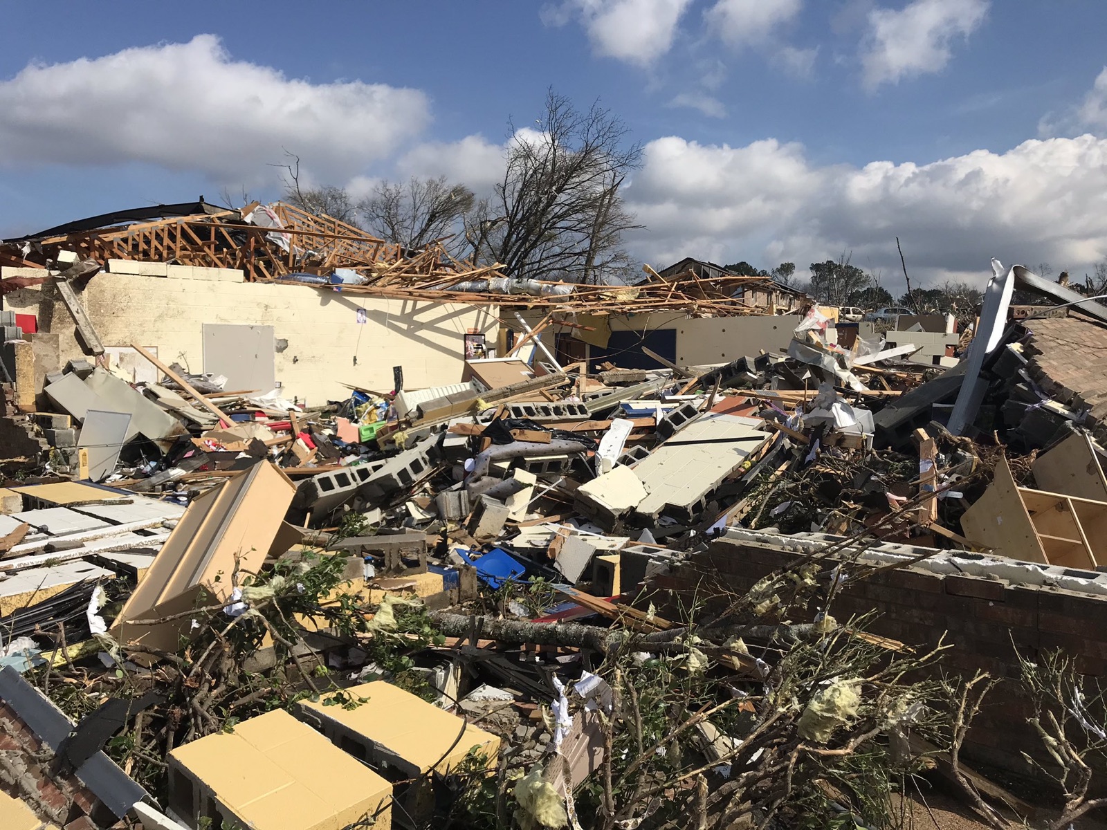
Every tornado confirmed here since 1960, why eighteen of the twenty-six came between six at night and six in the morning, and the storms that have killed people in this county.
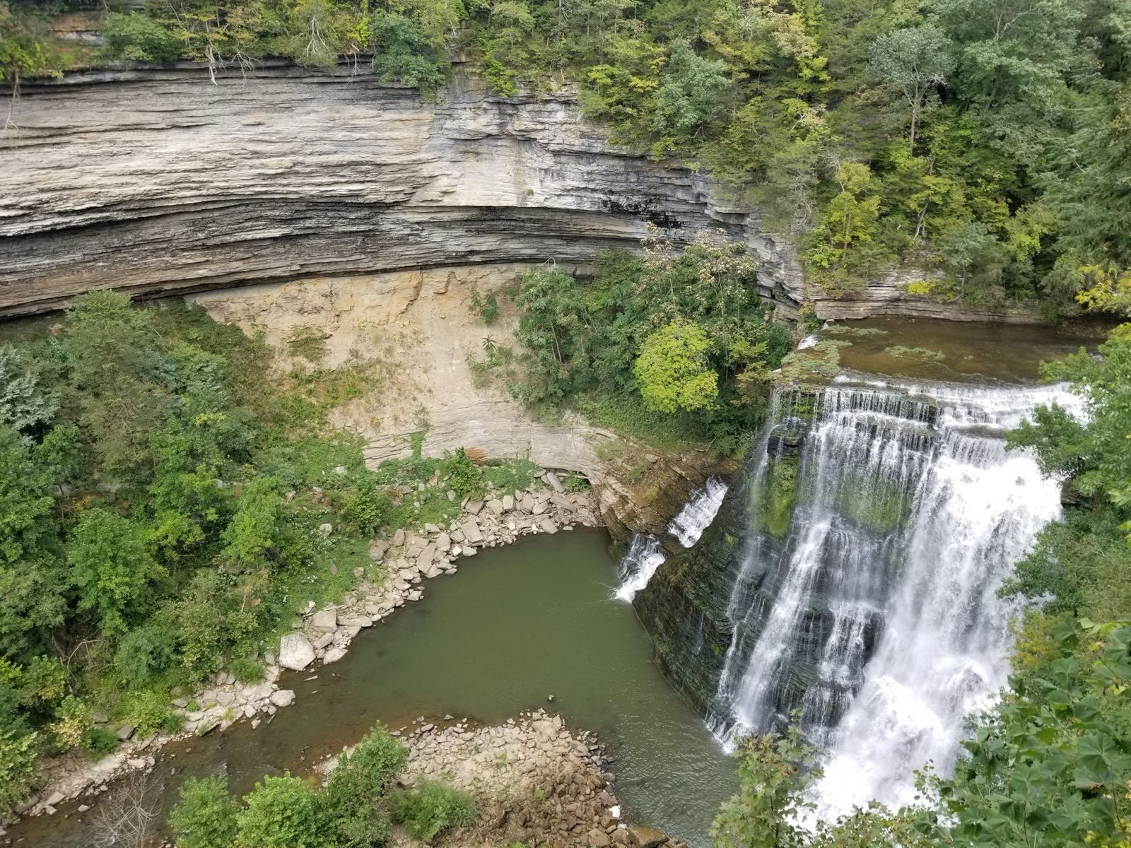
Eight Saturdays from the Public Square and back, four of four hours and four of eight, each timed against its stops' Saturday hours and the sunset.

The mayor and four at-large seats, every deadline from petitions to election day, how the four aldermen voted on the board's 44 split votes, and every race since 2011.
Franklin Frontline
The week in Franklin every Monday morning, five picks for the weekend every Thursday, and each new field guide the day it is finished.